Roman engineering · Segovia
Segovia Roman Aqueduct: How It Worked and Where to View It
The Segovia Aqueduct is famous for the double tier of arches rising above Plaza del Azoguejo. But the masonry façade was only the visible part of a functioning water supply: a channel ran from the Guadarrama foothills through settling structures and on into the old town.
Visitor detailsGuides & tickets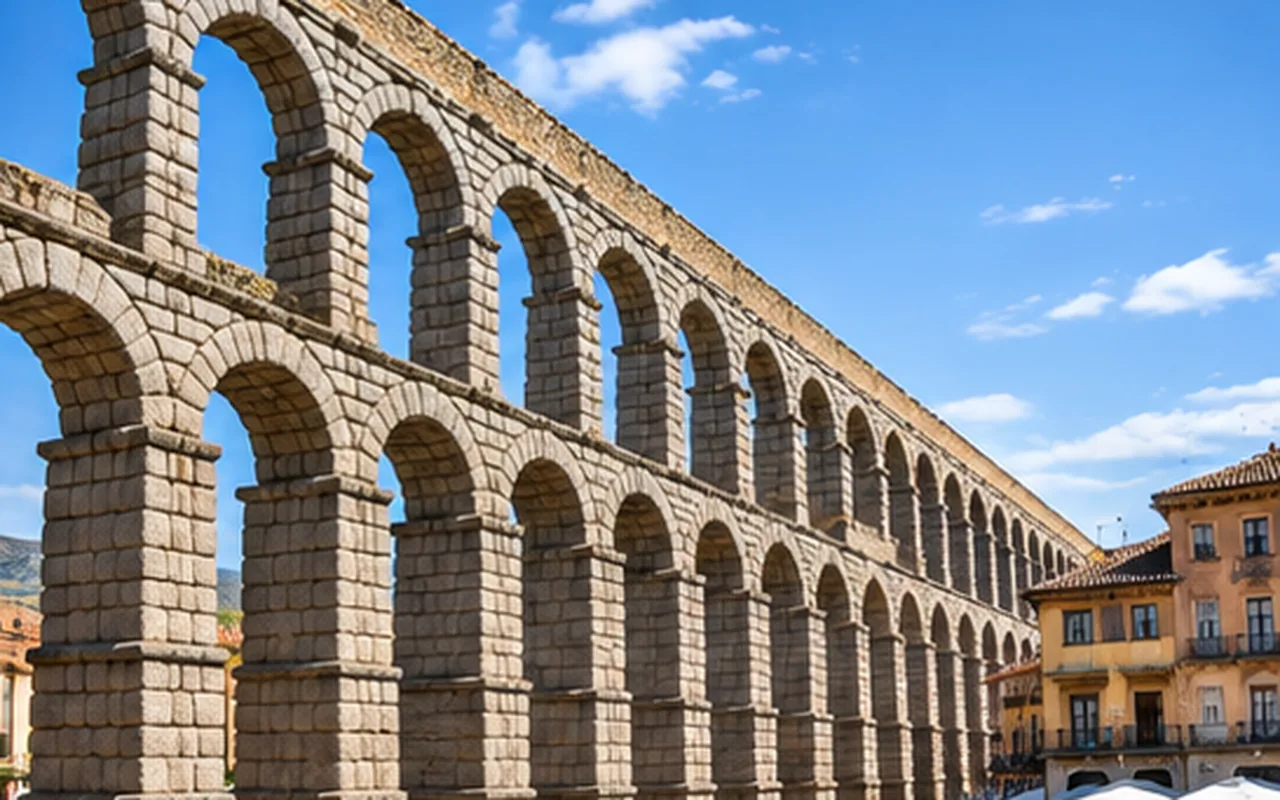
Understanding the place
Segovia's aqueduct was built to carry water, not to create a city landmark. A gravity-fed channel transported the flow from the River Frío system along the contours towards Segovia. The arched crossing allowed the water line to maintain its level over a deep change in terrain. The city's present monument is a spectacular fragment of a much longer utilitarian system.
The tourism authority gives the full historic alignment at about 16,186 m, with a 959 m arched monumental segment, 167 arches and a height of up to 28.10 m. Its enormous granite blocks fit together without mortar. The monument remained an important water supply into the twentieth century.
Visitor information
Checked against official sources in November 2026. Confirm current prices and dates directly with each operator.
Reading the double row of arches
Stand at Plaza del Azoguejo, where the crossing is tallest. The lower arches support a second tier that carries the channel over the valley. The loads pass through carefully cut granite voussoirs and piers, not through a cement binder. This is structural masonry: the shape of each stone and the compression of the arrangement do the work.
At the foot of the aqueduct, consider how the piers become taller as the ground falls away. Then use the stairs by the Postigo del Consuelo to look along the channel line from above. The change of viewpoint helps explain why Roman engineers raised the conduit rather than allowing water to follow the steepest street.
The water route that most visitors never see
The channel depended on a controlled gradient. Water first passed through settling installations, known locally as desarenadores, that removed suspended matter. Beyond the famous arches it continued underground through the medieval urban fabric toward the Alcázar side of town, feeding public and private supplies.
Segovia Tourism identifies the Desarenador de Chamberí and Desarenador de San Gabriel among the structures along the historic route. For deeper explanation, the aqueduct interpretation center at the Royal Mint offers exhibits on water infrastructure. This makes a good add-on for visitors interested in engineering; it is not necessary simply to view the aqueduct from outdoors.
How old is the Aqueduct? The sources do not agree
It is reasonable to call the aqueduct Roman, but a confident construction date is harder to justify. Segovia's municipal history now places construction after AD 112, near the end of Trajan's reign or the beginning of Hadrian's. The UNESCO overview uses an earlier approximate date. Neither estimate makes the standing masonry less exceptional, but presenting one precise year as fact would be misleading.
The UNESCO listing of Segovia's old town and aqueduct dates to 1985. The inscription protects not just a wall of arches but the relationship between the Roman structure and the historic city that grew around it.
Free visit or guided engineering tour?
The aqueduct is an outdoor public monument: no ticket is needed to see the arches from Azoguejo or the adjoining public viewpoints. A ticketed guided experience pays for the explanation, not access to a closed aqueduct interior.
For photographers, late-afternoon side lighting can bring out the texture of the granite. If your priority is the actual water system, choose a guide who discusses the 16 km course, gradient and buried channel rather than one who treats the aqueduct as a quick photo stop on the way to the Alcázar.
A route from Roman Segovia into the medieval city
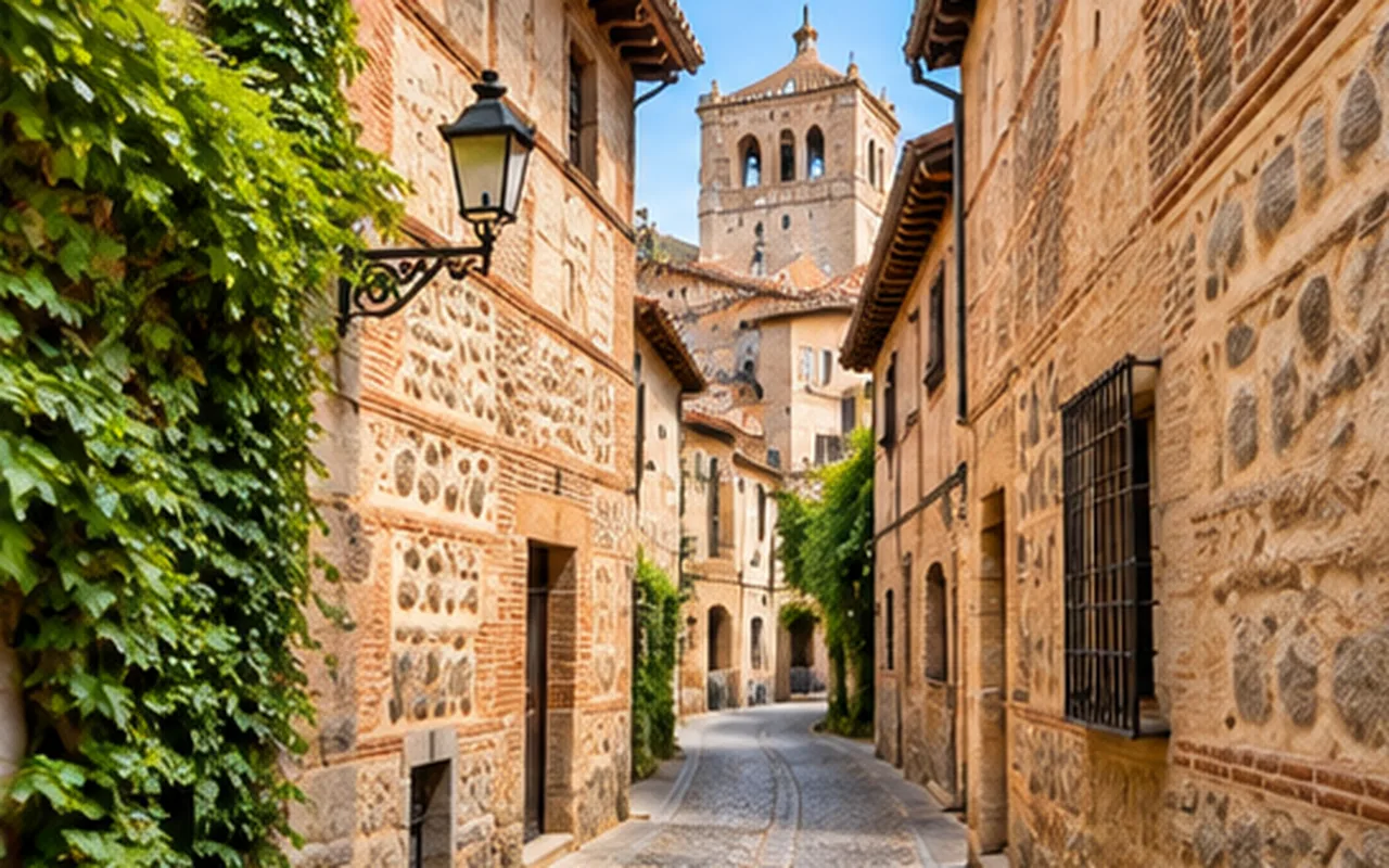
Continue uphill along Calle Real to Plaza de Medina del Campo and Plaza Mayor. The transition from Roman water infrastructure into the medieval trading streets is gradual; the buildings display later stonework, façades and esgrafiado plaster decoration.
The Cathedral and Alcázar sit farther west. They explain other forms of power in the city and make the aqueduct a logical first chapter rather than an isolated attraction.
Roman engineering in Spanish
El acueducto is the aqueduct; el arco is an arch; sin mortero means without mortar; and el canal means water channel. To ask for the viewpoint, use ¿Dónde está el mirador?.
The question dónde is covered by interrogative pronouns.
How to choose a paid guided experience
There is no ordinary admission fee to stand under the aqueduct. Guided walks are useful only if their commentary covers the unseen hydraulic route and the aqueduct's position in the city. Check the route and language before booking.
Compare Segovia toursAffiliate link. MundoDELE may earn a commission; verify current product details, access and cancellation policy before payment.
Available GetYourGuide experiences
A Segovia city walk; the Aqueduct remains freely accessible without a tour.